
Gallatin topographic map
Click on the map to display elevation.
About this map
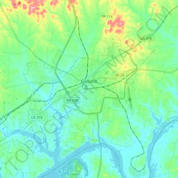
Name: Gallatin topographic map, elevation, terrain.
Average elevation: 166 m
Minimum elevation: 135 m
Maximum elevation: 275 m
Other topographic maps
Click on a map to view its topography, its elevation and its terrain.
Scottish Highlands
United States > Tennessee > Sumner County > Hendersonville
Average elevation: 157 m
Scottish Highlands
United States > Tennessee > Sumner County > Hendersonville
Average elevation: 157 m
Curtiswood
United States > Tennessee > Sumner County > Hendersonville > Curtiswood
Average elevation: 144 m