
Grass Lake topographic map
Interactive map
Click on the map to display elevation.
About this map
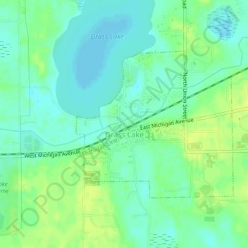
Name: Grass Lake topographic map, elevation, terrain.
Location: Grass Lake, Jackson County, Michigan, USA (42.24395 -84.21990 42.25995 -84.19701)
Average elevation: 304 m
Minimum elevation: 296 m
Maximum elevation: 314 m