
Aïn Témouchent topographic map
Interactive map
Click on the map to display elevation.
About this map
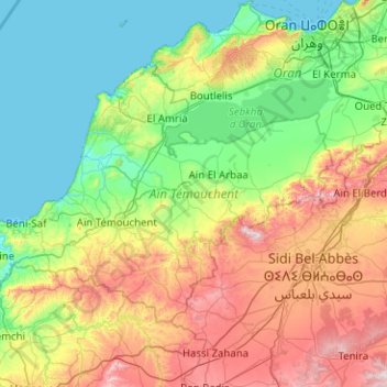
Name: Aïn Témouchent topographic map, elevation, terrain.
Location: Aïn Témouchent, Algérie (35.08999 -1.58887 35.64021 -0.58225)
Average elevation: 284 m
Minimum elevation: 0 m
Maximum elevation: 1,021 m