Geolocate

Pisogno topographic map

Click on the map to display elevation.

About this map

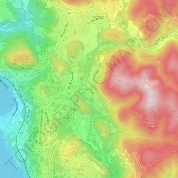
Name: Pisogno topographic map, elevation, terrain.

Location: Pisogno, Miasino, Novara, Piedmont, 28011, Italy (45.78538 8.42388 45.82538 8.46388)

Average elevation: 527 m

Minimum elevation: 287 m

Maximum elevation: 784 m

Gear up for your next adventure:

🧤Hiking Gloves - Protective gloves for outdoor use
🎽Base Layers - Thermal base layers
🎒40L Day Hiking Backpacks - Comfortable packs with hydration support for long days exploring topographic peaks
🎽Hiking Clothing - Breathable clothing for hiking
🛰️Handheld GPS Units - Rugged GPS devices for tracking coordinates and elevation in the Australian bush

As an Amazon Associate, this site earns from qualifying purchases at no extra cost to you.