Geolocate

Reigate Park topographic map

Click on the map to display elevation.

About this map

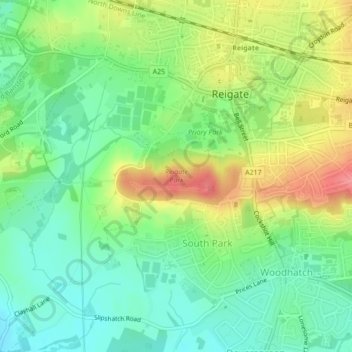
Name: Reigate Park topographic map, elevation, terrain.

Location: Reigate Park, South Park, Reigate, Reigate and Banstead, Surrey, England, United Kingdom (51.22908 -0.22013 51.23357 -0.20317)

Average elevation: 80 m

Minimum elevation: 48 m

Maximum elevation: 129 m

Other topographic maps

Click on a map to view its topography, its elevation and its terrain.

Gear up for your next adventure:

🐍Australian Snake Bite Kits - Specific pressure immobilization bandages for Australian venomous snakes
🧯Animal Deterrent Spray - Safety spray for wildlife
🛌Sleeping Bags - Sleeping bags for outdoor camping
🧊Insulated Cooler Bags - Keep food fresh for day trips to remote geographic sites
🎒Ultralight Backpacks - Lightweight packs for long hikes

As an Amazon Associate, this site earns from qualifying purchases at no extra cost to you.