
Kro topographic map
Interactive map
Click on the map to display elevation.
About this map
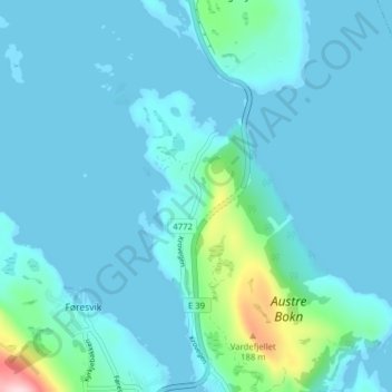
Name: Kro topographic map, elevation, terrain.
Location: Kro, Føresvik, Bokn, Rogaland, 5561, Norwegen (59.22235 5.44210 59.26235 5.48210)
Average elevation: 26 m
Minimum elevation: -2 m
Maximum elevation: 254 m