Geolocate

Kolaghat topographic map

Click on the map to display elevation.

About this map
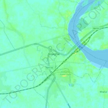
Name: Kolaghat topographic map, elevation, terrain.

Location: Kolaghat, Purba Medinipur District, West Bengal, 721134, India (22.39195 87.82312 22.47195 87.90312)

Average elevation: 4 m

Minimum elevation: -2 m

Maximum elevation: 15 m

Gear up for your next adventure:

🔋Rechargeable Batteries - Eco-friendly power for high-drain GPS units and flashlights
👄SPF Lip Balm - Prevent sun and wind-burnt lips on mountain ridges
🦟Insect Repellent - Protection against insects
🧦Hiking Socks - Comfortable socks for long hikes
☕Outdoor Coffee Makers - Enjoy quality coffee at the summit of your favorite peak

As an Amazon Associate, this site earns from qualifying purchases at no extra cost to you.