
东管头村 topographic map
Interactive map
Click on the map to display elevation.
About this map
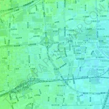
Name: 东管头村 topographic map, elevation, terrain.
Location: 东管头村, 丰台区, 北京市, 100073, 中国 (39.84175 116.29012 39.88175 116.33012)
Average elevation: 48 m
Minimum elevation: 44 m
Maximum elevation: 52 m
Other topographic maps
Click on a map to view its topography, its elevation and its terrain.