
Wattingen topographic map
Interactive map
Click on the map to display elevation.
About this map
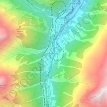
Name: Wattingen topographic map, elevation, terrain.
Location: Wattingen, Wassen, Uri, 6484, Schweiz (46.67531 8.57651 46.71531 8.61651)
Average elevation: 1,500 m
Minimum elevation: 803 m
Maximum elevation: 2,553 m