Geolocate

Marsham topographic map

Click on the map to display elevation.

About this map

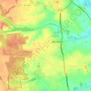
Name: Marsham topographic map, elevation, terrain.

Location: Marsham, Broadland, Norfolk, England, United Kingdom (52.75687 1.20972 52.77741 1.28259)

Average elevation: 29 m

Minimum elevation: 6 m

Maximum elevation: 49 m

Gear up for your next adventure:

👖Convertible Hiking Trousers - Zip-off legs to adapt to changing temperatures throughout the day
👣Snake & Scrub Gaiters - Protection against spinifex, mud, and snakes while walking off-track
🥾Hiking Gaiters - Leg protection for trails
🦟Heavy Duty Insect Repellent - Essential protection against flies, mozzies, and march flies
🆘Personal Locator Beacons (PLB) - Satellite emergency beacons for life-saving help in areas with no mobile coverage

As an Amazon Associate, this site earns from qualifying purchases at no extra cost to you.