
Buada District topographic map
Interactive map
Click on the map to display elevation.
About this map
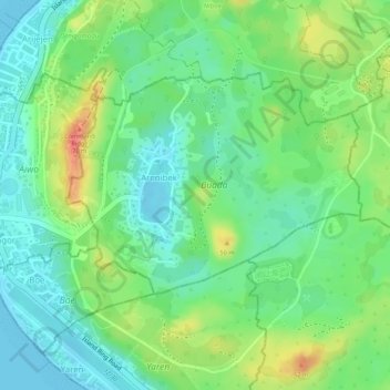
Name: Buada District topographic map, elevation, terrain.
Location: Buada District, Nauru (-0.54295 166.91700 -0.52715 166.93521)
Average elevation: 26 m
Minimum elevation: -1 m
Maximum elevation: 68 m
Other topographic maps
Click on a map to view its topography, its elevation and its terrain.