
Mioma topographic map
Interactive map
Click on the map to display elevation.
About this map
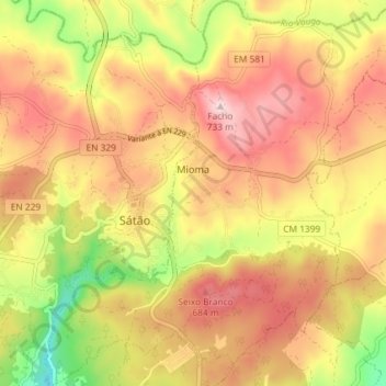
Name: Mioma topographic map, elevation, terrain.
Location: Mioma, Sátão, Viseu, Portugal (40.71882 -7.75078 40.77393 -7.68267)
Average elevation: 603 m
Minimum elevation: 432 m
Maximum elevation: 728 m