
Quận Ninh Kiều topographic map
Interactive map
Click on the map to display elevation.
About this map
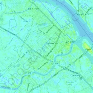
Name: Quận Ninh Kiều topographic map, elevation, terrain.
Location: Quận Ninh Kiều, Thành phố Cần Thơ, Viêt Nam (9.99341 105.71788 10.07046 105.80333)
Average elevation: 3 m
Minimum elevation: -8 m
Maximum elevation: 14 m
Other topographic maps
Click on a map to view its topography, its elevation and its terrain.
Thị trấn Cờ Đỏ
Thị trấn Cờ Đỏ, Huyện Cờ Đỏ, Thành phố Cần Thơ, 94600, Viêt Nam
Average elevation: 3 m