Geolocate

Razorback topographic map

Click on the map to display elevation.

About this map

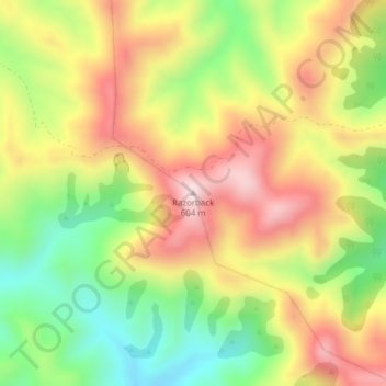
Name: Razorback topographic map, elevation, terrain.

Location: Razorback, Waitaki District, Otago, New Zealand (-45.35804 170.68064 -45.35794 170.68074)

Average elevation: 363 m

Minimum elevation: 131 m

Maximum elevation: 597 m

Gear up for your next adventure:

🚗Car Camping Gear - Equipment for vehicle camping
🧼Biodegradable Outdoor Soap - Clean gear and yourself without harming the local ecosystem
Altimeter Barometer Watches - Outdoor watches with built-in sensors to track altitude changes and weather shifts
📱Shockproof Phone Cases - Extra protection for your smartphone against drops on rocky terrain
🦘Outback Survival Gear - Essential gear for Australian outback

As an Amazon Associate, this site earns from qualifying purchases at no extra cost to you.