Geolocate

Mull River topographic map

Click on the map to display elevation.

About this map
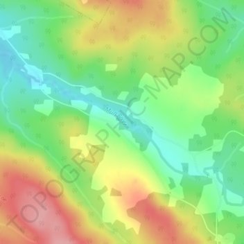
Name: Mull River topographic map, elevation, terrain.

Location: Mull River, Glencoe, Municipality of the County of Inverness, Inverness County, Nova Scotia, Canada (45.96867 -61.34793 45.98135 -61.31579)

Average elevation: 129 m

Minimum elevation: 73 m

Maximum elevation: 198 m

Other topographic maps

Click on a map to view its topography, its elevation and its terrain.

Gear up for your next adventure:

🔦Powerful LED Headlamps - Hands-free lighting for night navigation and setting up camp after dark
💡Collapsible Camping Lanterns - Illuminate your base camp or tent for map studying at night
📕Hiking Guide Books - Guides for hiking trails
🌧️Rain Jackets - Waterproof jackets for hiking
🛌Sleeping Mats - Insulated mats for camping comfort

As an Amazon Associate, this site earns from qualifying purchases at no extra cost to you.