
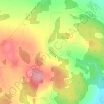
Petit lac Ouimet topographic map
Interactive map
Click on the map to display elevation.
About this map
Name: Petit lac Ouimet topographic map, elevation, terrain.
Average elevation: 467 m
Minimum elevation: 397 m
Maximum elevation: 523 m
Other topographic maps
Click on a map to view its topography, its elevation and its terrain.
Mont Pinacle
Canada > Québec > Coaticook (MRC) > Coaticook
Mont Pinacle, Coaticook, Coaticook (MRC), Estrie, Québec, J1A 2S4, Canada
Average elevation: 511 m