
ウボンラーチャターニー topographic map
Interactive map
Click on the map to display elevation.
About this map
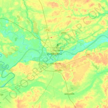
Name: ウボンラーチャターニー topographic map, elevation, terrain.
Location: ウボンラーチャターニー, ปทุม, ウボンラーチャターニー県, 34000, タイ王国 (15.06742 104.69895 15.38742 105.01895)
Average elevation: 125 m
Minimum elevation: 108 m
Maximum elevation: 147 m