
Fange topographic map
Interactive map
Click on the map to display elevation.
About this map
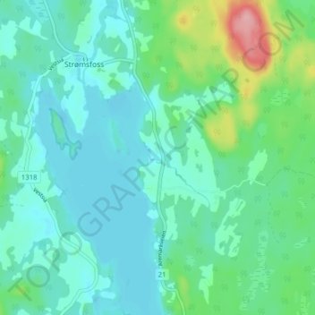
Name: Fange topographic map, elevation, terrain.
Location: Fange, Strømsfoss, Aremark, Viken, Noorwegen (59.26901 11.65775 59.30901 11.69775)
Average elevation: 129 m
Minimum elevation: 104 m
Maximum elevation: 226 m