
Cela topographic map
Interactive map
Click on the map to display elevation.
About this map
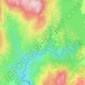
Name: Cela topographic map, elevation, terrain.
Location: Cela, Outeiro, Montalegre, Vila Real, 5470-332, Portugal (41.74815 -7.99440 41.78815 -7.95440)
Average elevation: 753 m
Minimum elevation: 513 m
Maximum elevation: 1,078 m