
Los Naranjos topographic map
Interactive map
Click on the map to display elevation.
About this map
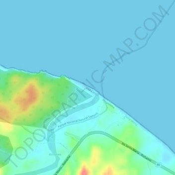
Name: Los Naranjos topographic map, elevation, terrain.
Location: Los Naranjos, Santa Marta, Magdalena, RAP Caribe, Colombia (11.29681 -73.89683 11.29943 -73.89289)
Average elevation: 11 m
Minimum elevation: 0 m
Maximum elevation: 67 m