
Pariñas topographic map
Interactive map
Click on the map to display elevation.
About this map
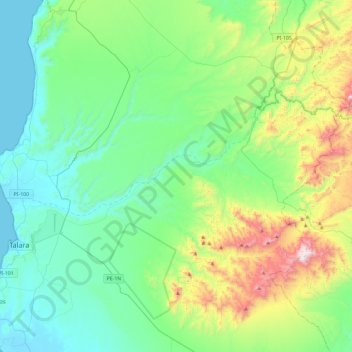
Name: Pariñas topographic map, elevation, terrain.
Location: Pariñas, Talara, Piura, Perú (-4.66861 -81.29879 -4.30780 -80.82852)
Average elevation: 266 m
Minimum elevation: 0 m
Maximum elevation: 1,122 m