Geolocate

Narooma topographic map

Click on the map to display elevation.

About this map
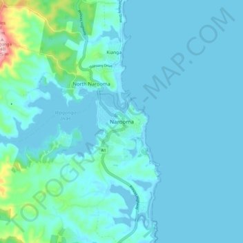
Name: Narooma topographic map, elevation, terrain.

Location: Narooma, Eurobodalla Shire Council, New South Wales, Australia (-36.25902 150.09172 -36.17902 150.17172)

Average elevation: 22 m

Minimum elevation: -5 m

Maximum elevation: 217 m

New South Wales trails, hiking, mountain biking, running and outdoor activities

Other topographic maps

Click on a map to view its topography, its elevation and its terrain.

Wagonga Inlet

Australia > New South Wales > Narooma

Average elevation: 38 m

Gear up for your next adventure:

🔋Rechargeable Batteries - Eco-friendly power for high-drain GPS units and flashlights
🥤Hydration Packs - Hydration systems for hiking
🪑Portable Backpacking Chairs - A comfortable seat for studying maps at the end of the day
☕Outdoor Coffee Makers - Enjoy quality coffee at the summit of your favorite peak
🧦Merino Wool Hiking Socks - Moisture-wicking socks to prevent blisters during long topographic surveys

As an Amazon Associate, this site earns from qualifying purchases at no extra cost to you.