
Driehuis topographic map
Interactive map
Click on the map to display elevation.
About this map
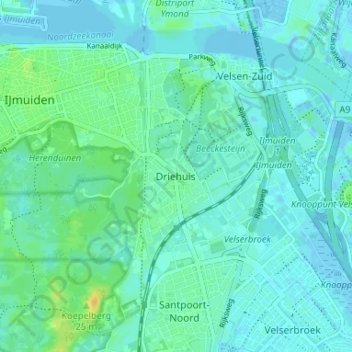
Name: Driehuis topographic map, elevation, terrain.
Location: Driehuis, Noord-Holland, Nederland, 1985, Nederland (52.42857 4.61850 52.46857 4.65850)
Average elevation: 5 m
Minimum elevation: -6 m
Maximum elevation: 22 m