Geolocate

Finch topographic map

Click on the map to display elevation.

About this map
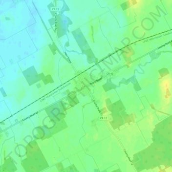
Name: Finch topographic map, elevation, terrain.

Location: Finch, North Stormont, Stormont, Dundas and Glengarry Counties, Eastern Ontario, Ontario, K0C 1K0, Canada (45.12322 -75.10493 45.16322 -75.06493)

Average elevation: 83 m

Minimum elevation: 73 m

Maximum elevation: 97 m

Other topographic maps

Click on a map to view its topography, its elevation and its terrain.

Gear up for your next adventure:

🧺Waterproof Dry Sacks - Organize your pack and keep electronics safe from rain and river crossings
🧭Compass - Navigation compasses for outdoor exploration
📱Shockproof Phone Cases - Extra protection for your smartphone against drops on rocky terrain
🔥Ferrocerium Rod Fire Starters - Reliable fire lighting in wet or windy conditions without matches
⌚Altimeter Barometer Watches - Outdoor watches with built-in sensors to track altitude changes and weather shifts

As an Amazon Associate, this site earns from qualifying purchases at no extra cost to you.