
Wolong topographic map
Interactive map
Click on the map to display elevation.
About this map
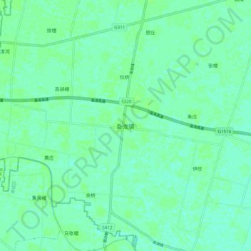
Name: Wolong topographic map, elevation, terrain.
Location: Wolong, Yongcheng City, Shangqiu City, Henan, PRC (33.87321 115.99607 33.95321 116.07607)
Average elevation: 37 m
Minimum elevation: 33 m
Maximum elevation: 40 m