
Roberts topographic map
Interactive map
Click on the map to display elevation.
About this map
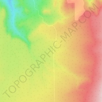
Name: Roberts topographic map, elevation, terrain.
Location: Roberts, Crook County, Oregon, USA (44.06124 -120.70473 44.10124 -120.66473)
Average elevation: 1,191 m
Minimum elevation: 1,019 m
Maximum elevation: 1,318 m