
Beberstedt topographic map
Interactive map
Click on the map to display elevation.
About this map
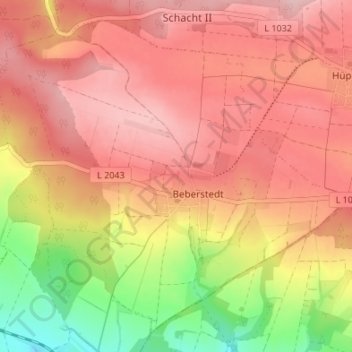
Name: Beberstedt topographic map, elevation, terrain.
Average elevation: 434 m
Minimum elevation: 323 m
Maximum elevation: 498 m
Other topographic maps
Click on a map to view its topography, its elevation and its terrain.
Zella
Deutschland > Thüringen > Landkreis Eichsfeld > Dingelstädt
Zella, Dingelstädt, Landkreis Eichsfeld, Thüringen, Deutschland
Average elevation: 360 m