
Chamosee topographic map
Interactive map
Click on the map to display elevation.
About this map
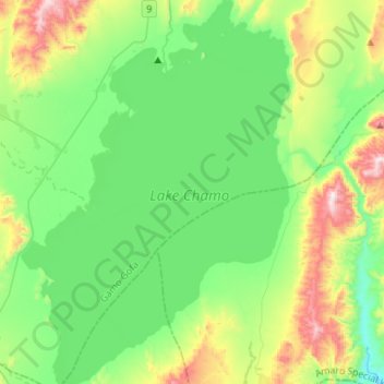
Name: Chamosee topographic map, elevation, terrain.
Location: Chamosee, Gamo Gofa, Südliche Nationen, 40, Äthiopien (5.70607 37.45576 5.97132 37.63951)
Average elevation: 1,182 m
Minimum elevation: 966 m
Maximum elevation: 1,750 m
Other topographic maps
Click on a map to view its topography, its elevation and its terrain.
Tosa Sucha
Äthiopien > Südliche Nationen > አርባ ምንጭ / Arba Minch
Tosa Sucha, አርባ ምንጭ / Arba Minch, Gamo Gofa, Südliche Nationen, Äthiopien
Average elevation: 1,376 m