
Hulten topographic map
Interactive map
Click on the map to display elevation.
About this map
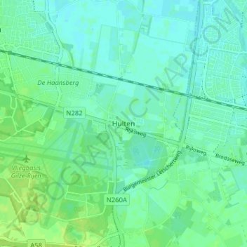
Name: Hulten topographic map, elevation, terrain.
Location: Hulten, Noord-Brabant, Nederland, 5125, Nederland (51.55252 4.93390 51.59252 4.97390)
Average elevation: 10 m
Minimum elevation: 5 m
Maximum elevation: 18 m