
Neiva topographic map
Interactive map
Click on the map to display elevation.
About this map
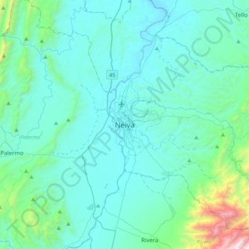
Name: Neiva topographic map, elevation, terrain.
Location: Neiva, Huila, 410400, Colômbia (2.76631 -75.44917 3.08631 -75.12917)
Average elevation: 657 m
Minimum elevation: 398 m
Maximum elevation: 2,648 m