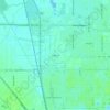
Texas City topographic map
Click on the map to display elevation.
Texas City
Officially, the elevation of Texas City is 10 feet above sea level, though some areas are even lower. It was naturally vulnerable to flooding by hurricane storm surges and heavy rainstorms.
About this map
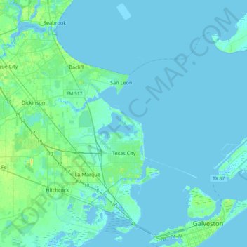
Name: Texas City topographic map, elevation, terrain.
Location: Texas City, Galveston County, Texas, United States (29.30097 -95.07888 29.56638 -94.71429)
Average elevation: 2 m
Minimum elevation: -9 m
Maximum elevation: 19 m
Other topographic maps
Click on a map to view its topography, its elevation and its terrain.



San Luis Pass
United States > Texas > Galveston County > Galveston
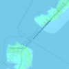
Tides cause daily variations in topography, and occasionally, storms more drastically change the topography of the pass.
Average elevation: 0 m

Texas City Terminal Junction
United States > Texas > Galveston County > Hitchcock
Average elevation: 2 m
San Luis Pass
United States > Texas > Galveston County > Galveston
Tides cause daily variations in topography, and occasionally, storms more drastically change the topography of the pass.
Average elevation: 0 m
League City
United States > Texas > Galveston County > League City > League City
Average elevation: 7 m
Bacliff
United States > Texas > Galveston County
After Hurricane Ike hit Texas in September 2008, Galveston County officials offered a debris removal program to residents in unincorporated areas, including Bacliff. Flooding from hurricane Ike was minimized due in part to Bacliff's relatively high elevation of 16 feet.
Average elevation: 4 m