
Kagera topographic map
Interactive map
Click on the map to display elevation.
About this map
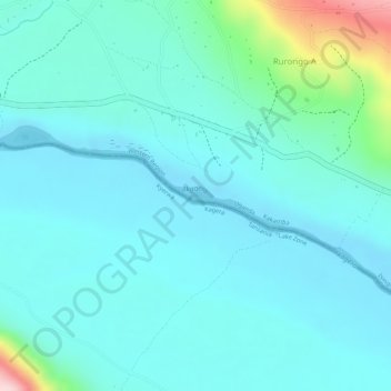
Name: Kagera topographic map, elevation, terrain.
Location: Kagera, Ngarama, Buganza, Isingiro, Western Region, Uganda (-0.98963 30.77699 -0.98851 30.78022)
Average elevation: 1,258 m
Minimum elevation: 1,210 m
Maximum elevation: 1,478 m