
Ajegunle topographic map
Interactive map
Click on the map to display elevation.
About this map
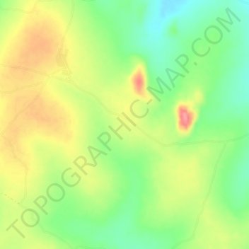
Name: Ajegunle topographic map, elevation, terrain.
Location: Ajegunle, Ori Ire, Oyo State, Nigeria (8.56333 3.99667 8.60333 4.03667)
Average elevation: 439 m
Minimum elevation: 396 m
Maximum elevation: 488 m