
Soba topographic map
Interactive map
Click on the map to display elevation.
About this map
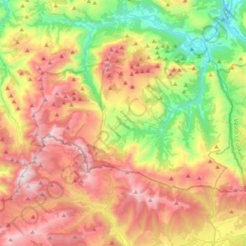
Name: Soba topographic map, elevation, terrain.
Location: Soba, Asón-Agüera, Cantabria, España (43.13153 -3.70839 43.25074 -3.41761)
Average elevation: 793 m
Minimum elevation: 44 m
Maximum elevation: 1,682 m