
Charlie topographic map
Click on the map to display elevation.
About this map
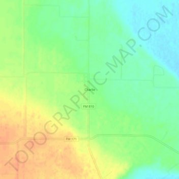
Name: Charlie topographic map, elevation, terrain.
Location: Charlie, Clay County, Texas, United States (34.07621 -98.33560 34.11621 -98.29560)
Average elevation: 290 m
Minimum elevation: 272 m
Maximum elevation: 309 m