
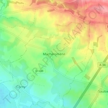
Macheromenil topographic map
Interactive map
Click on the map to display elevation.
About this map
Name: Macheromenil topographic map, elevation, terrain.
Average elevation: 124 m
Minimum elevation: 83 m
Maximum elevation: 181 m
Other topographic maps
Click on a map to view its topography, its elevation and its terrain.
Corny
France > Grand Est > Ardennes > Corny-Machéroménil
Corny, Corny-Machéroménil, Rethel, Ardennes, Grand Est, France métropolitaine, 08270, France
Average elevation: 100 m