
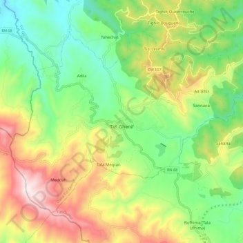
Tizi Ghenif topographic map
Interactive map
Click on the map to display elevation.
About this map
Name: Tizi Ghenif topographic map, elevation, terrain.
Location: Tizi Ghenif, Daïra Tizi Ghenif, Tizi Ouzou, 15020, Algérie (36.55560 3.72284 36.62235 3.83402)
Average elevation: 428 m
Minimum elevation: 111 m
Maximum elevation: 912 m
La commune de Tizi Gheniff se situe à 363 mètres d'altitude.