
Tsetserleg topographic map
Interactive map
Click on the map to display elevation.
About this map
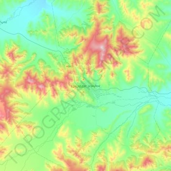
Name: Tsetserleg topographic map, elevation, terrain.
Location: Tsetserleg, Erdenebulgan, Archangai, -0976, Mongolei (47.31660 101.29329 47.63660 101.61329)
Average elevation: 1,813 m
Minimum elevation: 1,573 m
Maximum elevation: 2,397 m