
Jicalán topographic map
Interactive map
Click on the map to display elevation.
About this map
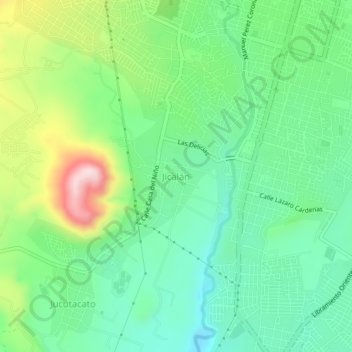
Name: Jicalán topographic map, elevation, terrain.
Location: Jicalán, Uruapan, Michoacán de Ocampo, 60180, México (19.37187 -102.08718 19.41187 -102.04718)
Average elevation: 1,617 m
Minimum elevation: 1,513 m
Maximum elevation: 1,838 m