
Tórshavn topographic map
Interactive map
Click on the map to display elevation.
About this map
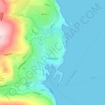
Name: Tórshavn topographic map, elevation, terrain.
Location: Tórshavn, Streymoyar sýsla, 100, Islas Feroe (61.99633 -6.85849 62.03289 -6.75250)
Average elevation: 68 m
Minimum elevation: -4 m
Maximum elevation: 342 m