
Dromore topographic map
Interactive map
Click on the map to display elevation.
About this map
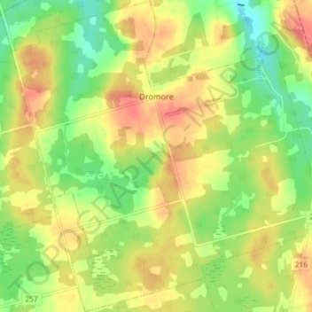
Name: Dromore topographic map, elevation, terrain.
Location: Dromore, Queens County, Prince Edward Island, Canada (46.26839 -62.88758 46.31837 -62.81499)
Average elevation: 39 m
Minimum elevation: 5 m
Maximum elevation: 72 m