
La Lagunilla topographic map
Interactive map
Click on the map to display elevation.
About this map
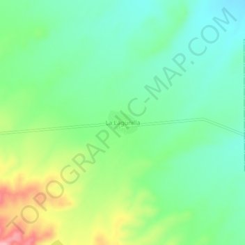
Name: La Lagunilla topographic map, elevation, terrain.
Location: La Lagunilla, Cuencamé, Durango, México (24.85842 -103.41993 24.89842 -103.37993)
Average elevation: 1,476 m
Minimum elevation: 1,432 m
Maximum elevation: 1,567 m