
Krøderen topographic map
Interactive map
Click on the map to display elevation.
About this map
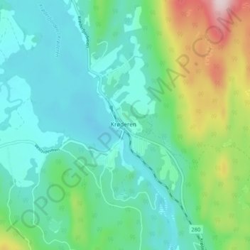
Name: Krøderen topographic map, elevation, terrain.
Location: Krøderen, Krødsherad, Viken, 3535, Norway (60.10481 9.76402 60.14481 9.80402)
Average elevation: 208 m
Minimum elevation: 119 m
Maximum elevation: 496 m