Geolocate

Truscott topographic map

Click on the map to display elevation.

About this map

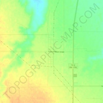
Name: Truscott topographic map, elevation, terrain.

Location: Truscott, Knox County, Texas, United States (33.73425 -99.83120 33.77425 -99.79120)

Average elevation: 465 m

Minimum elevation: 446 m

Maximum elevation: 479 m

Gear up for your next adventure:

🥤Hydration Packs - Hydration systems for hiking
🧥Softshell Jackets - Flexible outdoor jackets
🔑Heavy Duty Carabiners - Secure gear to the outside of your pack for easy access
🎒Hiking Backpacks - Backpacks designed for hiking and trekking
🎒Dry Bags - Waterproof bags for outdoor gear

As an Amazon Associate, this site earns from qualifying purchases at no extra cost to you.