
Sông Cầu topographic map
Interactive map
Click on the map to display elevation.
About this map
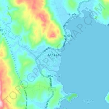
Name: Sông Cầu topographic map, elevation, terrain.
Location: Sông Cầu, Thị xã Sông Cầu, Province de Phú Yên, Viêt Nam (13.41938 109.18084 13.49938 109.26084)
Average elevation: 59 m
Minimum elevation: -3 m
Maximum elevation: 373 m