
Bahundanda topographic map
Interactive map
Click on the map to display elevation.
About this map
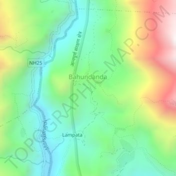
Name: Bahundanda topographic map, elevation, terrain.
Location: Bahundanda, Bahundada, Marsyangdi, लमजुङ, Gandaki, Népal (28.33887 84.40418 28.34382 84.40823)
Average elevation: 1,276 m
Minimum elevation: 924 m
Maximum elevation: 1,951 m