
Espírito Santo topographic map
Interactive map
Click on the map to display elevation.
About this map
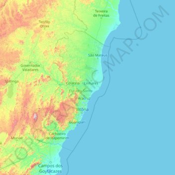
Name: Espírito Santo topographic map, elevation, terrain.
Location: Espírito Santo, Región Sudeste, Brasil (-22.12877 -42.73220 -17.00877 -37.61220)
Average elevation: 210 m
Minimum elevation: -3 m
Maximum elevation: 2,532 m