
Pedro Fernandez topographic map
Interactive map
Click on the map to display elevation.
About this map
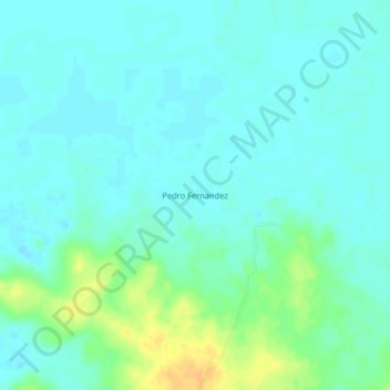
Name: Pedro Fernandez topographic map, elevation, terrain.
Location: Pedro Fernandez, Santa Ana, Magdalena, Colombia (9.36666 -74.55319 9.40666 -74.51319)
Average elevation: 21 m
Minimum elevation: 13 m
Maximum elevation: 42 m