
Orwell topographic map
Interactive map
Click on the map to display elevation.
About this map
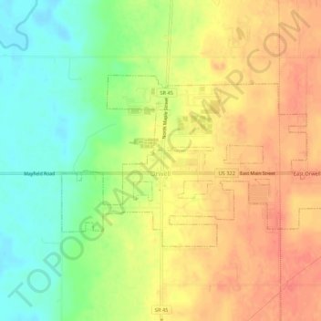
Name: Orwell topographic map, elevation, terrain.
Location: Orwell, Ashtabula County, Ohio, 44076, USA (41.52594 -80.88465 41.54732 -80.83116)
Average elevation: 269 m
Minimum elevation: 240 m
Maximum elevation: 291 m