
Kortberaad topographic map
Interactive map
Click on the map to display elevation.
About this map
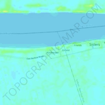
Name: Kortberaad topographic map, elevation, terrain.
Location: Kortberaad, Corentyne River, East Berbice-Corentyne, Guyana (6.15397 -57.58726 6.19397 -57.54726)
Average elevation: 3 m
Minimum elevation: -2 m
Maximum elevation: 16 m